
Limited knowledge of local groundwater systems often results in the failure of boreholes to yield water of the required quantity and quality. This is particularly problematic in the developing world, where financial resources are often limited, and failed wells represent a significant financial burden.
In 2019, the Foundation therefore started working with AU HydroGeophysics Group on a project to create better tools to map and monitor underground water resources.
The research group has now published their findings based on a field campaign in Tanzania in the NGWA journal Groundwater:
Groundwater is the leading international journal focused exclusively on groundwater. Since 1963, it has published a dynamic mix of papers on topics including groundwater flow and well hydraulics, hydrogeochemistry and contaminant hydrogeology, application of geophysics, groundwater management and policy, and history of groundwater hydrology.
In 202, the researchers also presented the technology at World Water Week @ Home. Find the recordings here
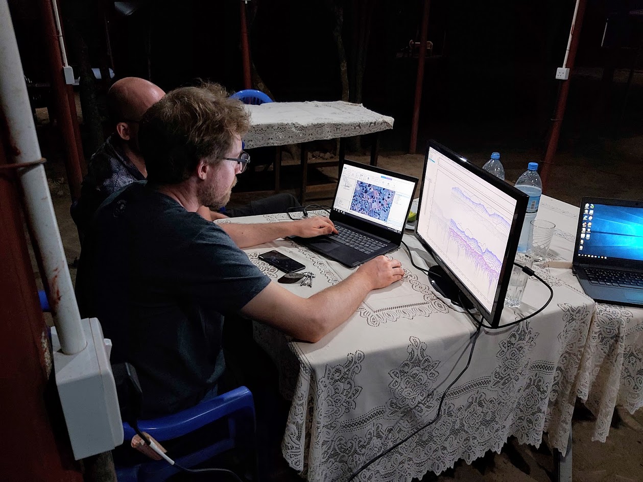
Field data from Tanzania are turned into 3D visualisations of the underground.